


Sample project showcase page A
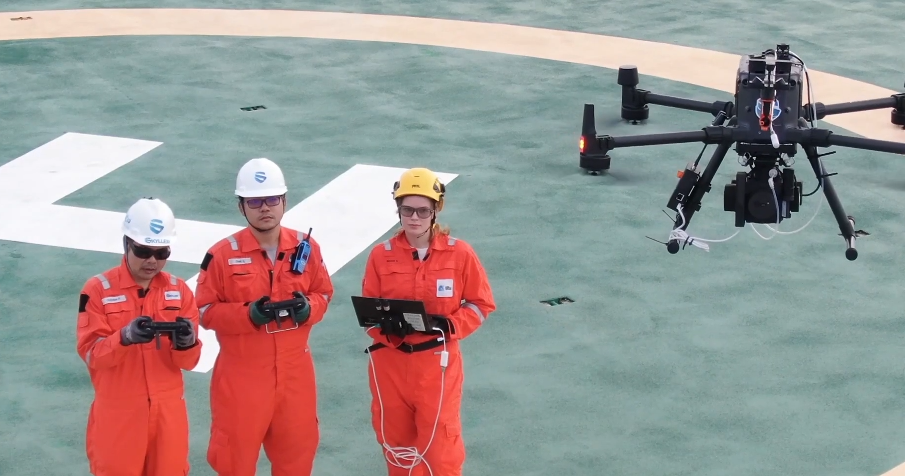
A 10-day aerial drone capture and analysis project conducted for a major infrastructure build. Deliverables included 3D topographic models, photo maps, and site analytics.
Project Overview
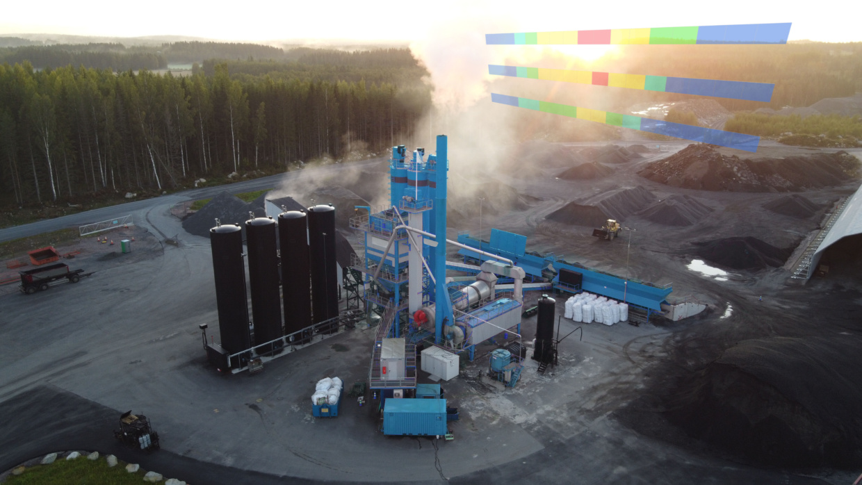
This project involved a series of daily drone flights over a 10-day window to monitor construction progress on a multi-acre site. Data was collected in high-resolution and used to generate orthomosaics, 3D terrain models, and volumetric analytics for material estimation.
The client was able to make key logistical decisions based on up-to-date visuals and measurements without physically visiting the site, saving time and increasing site safety.
Flight Time
12 hours
Images Captured
1,280+
Accuracy
±5cm
Duration
10 days
Visual Highlights
Timeline
June 1, 2025
Initial Site Survey
Scouted location, conducted airspace check, and established flight path plans.
June 2–10, 2025
Daily Drone Captures
Executed daily morning flights with real-time image syncing and cloud storage uploads.
June 11, 2025
Data Processing & Delivery
Generated orthophotos, 3D models, and analytical reports, then presented to the client.
Impact & Results
The survey significantly reduced on-site foot traffic, increased planning efficiency, and provided the client with high-accuracy deliverables used in multiple project stages.
Back to ProjectsYou can only manage what you can measure.
Looking for more information?

November 22, 2021
Lorem Ipsum Dolor Sit Amis

November 16, 2021
Lorem Ipsum Dolor Sit Amis

November 16, 2021